After nearly a decade of fighting between Nicaragua’s revolutionary Sandinista government and right-wing militias, shifts in foreign policy by the Soviet block and American administrations in the 1980s and early 1990s paved the way for peace agreements. This saw guerrilla fighters leaving rural areas to settle in the outskirts of the capital Managua.
One stark example was the Memorial Sandino neighborhood. The area had once housed an upper-class country club under the Somoza dictatorship before being occupied under the Sandinista government. During the peace process, nearly 1,000 people – including combatants from both sides of the conflict – settled on the land now owned by the state.
These informal “settlers” organized themselves into associations to create lotes (plots) and regulate the distribution of the land. This informal urbanization frequently leads to negative outcomes, as it is carried out without input from technical specialists and is not overseen by municipal or state authorities. Rushed and secretive practices are typical in these situations.
Upon the Architects Without Borders (ASF) team’s arrival at the Memorial Sandino neighborhood, we encountered a complex street layout characterized by narrow, unpaved roads and inadequate or nonexistent lighting in most areas. This situation had negative implications for both public and traffic safety. More critically, it posed significant risks in the event of a natural disaster. The region is particularly vulnerable to heavy rainfall, with an average of seven hurricanes impacting the country each year, as well as frequent earthquakes. Managua itself was devastated by an earthquake in 1972, and statistically, earthquakes of magnitude 7 or higher occur approximately every 25 years.
On rainy days, the streets in Memorial Sandino became blocked except for off-road vehicles. Torrents of water dangerously swelled, sweeping away trash discarded by residents and depositing it onto the main roads. This accumulation created blockages in the drainage channels, causing overflow and further damaging homes.
We identified the following basic sanitation needs in the community: 716 houses (81.3%) had traditional latrines in their backyards, 103 homes (11.7%) had sanitation units with toilets connected to soak pits in their backyards, and nine houses (1.02%) were linked to nearby sanitary sewer systems. Additionally, the remaining residents (5.98%, or 360 people) had to relieve themselves outdoors.
The data highlighted serious concerns regarding unsanitary conditions and the risk of disease transmission. The most prevalent diseases in the area were malaria and dengue fever. Additionally, there was significant soil contamination in this densely populated region. Consequently, coliform bacteria were commonly found in the water, soil, and overall environment.
Given these conditions, substantial rainfall was not required to notably raise the level of danger.
The project conducted by ASF consisted of three main stages. In terms of natural disasters, these stages can be categorized as follows:
- Enhancing the social framework for effective governance, crucial for initial emergency response during natural disasters through various projects:
- Regularizing land ownership, i.e., creating legal security for property owners to establish roots in the area.
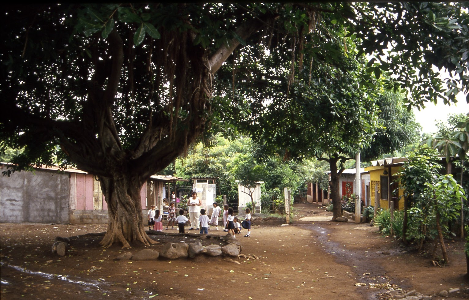
- Developing community facilities, such as a cultural and neighborhood center, to provide shelter for residents in case of a disaster. Initially, we gathered at a meeting spot under a large tree.
- Participatory urban design plan. While the neighborhood was nearly fully developed, there remained some opportunity to allocate land for:
- Identifying safe main roads and organizing traffic for road safety is vital in emergencies. This includes widening public streets.
- Identifying flood-prone areas: The neighborhood features dry streams that remain inactive during the dry season but become extremely dangerous during the rainy season. Several homes belonging to the poorest residents are situated along the streambanks.
- Designating open spaces: Planning for open areas that can serve as safe locations in the event of an earthquake.
- Basic urban infrastructure:
- Develop a wastewater and stormwater drainage system to reduce flooding and prevent waste accumulation in streams.
- Strengthen and construct bridges over the streams, as vehicles frequently become stuck in the mud during the rainy season.
- Reinforce the banks of the streams.
- Ensure a reliable supply of water, electricity, and waste collection services.
Key Takeaways
After several years of effort, only the public facilities—the community center and multipurpose building—were completed, complying with anti-seismic standards and fulfilling the outlined objectives. Subsequently, the project was handed over to the local municipality and public utility companies for urban reorganisation. However, the comprehensive project as initially envisioned could not be fully carried out for several reasons.
- The authorities showed a lack of commitment to supporting the residents.
- Poor communication between relevant authorities and stakeholders, such as the community, public utility companies, and the municipality.
- Public authorities often hesitate to prioritize “invisible” actions, such as land management and community empowerment, while favoring more visible projects. Significant investments were made in road paving for 2023 and 2024; however, these projects did not address essential infrastructure such as sewer systems or drainage collectors. From a technical standpoint, this lack of comprehensive planning is unlikely to have a meaningful impact during natural disasters.
Preliminary work and collaboration among various stakeholders are crucial to reducing the damage caused by natural disasters in the young towns in Managua.